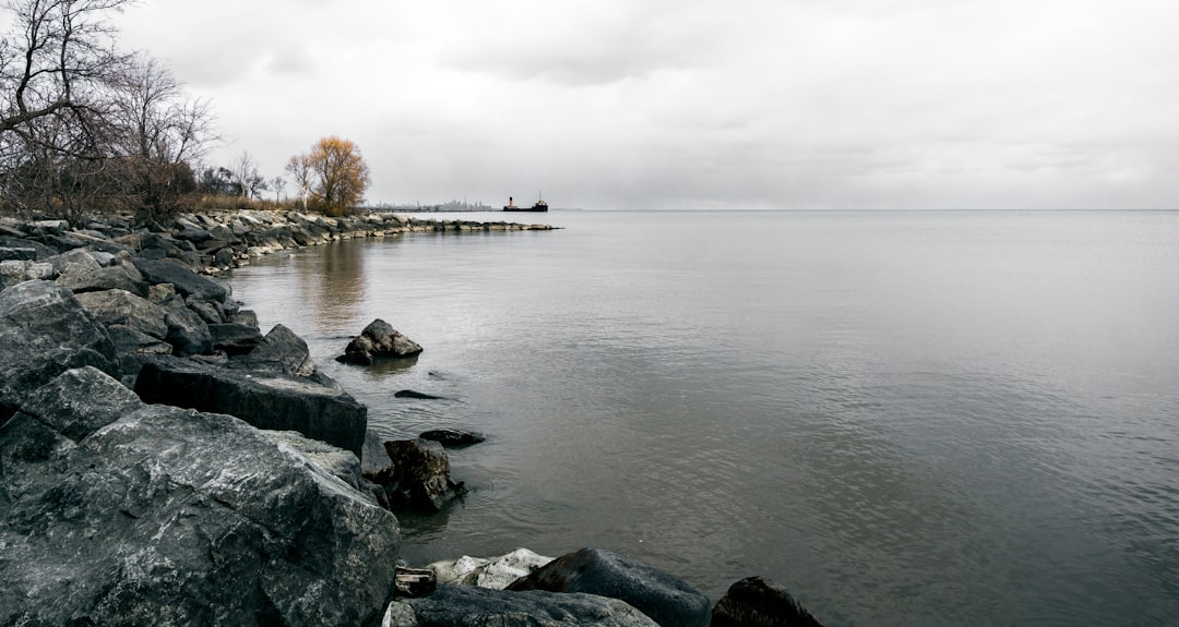
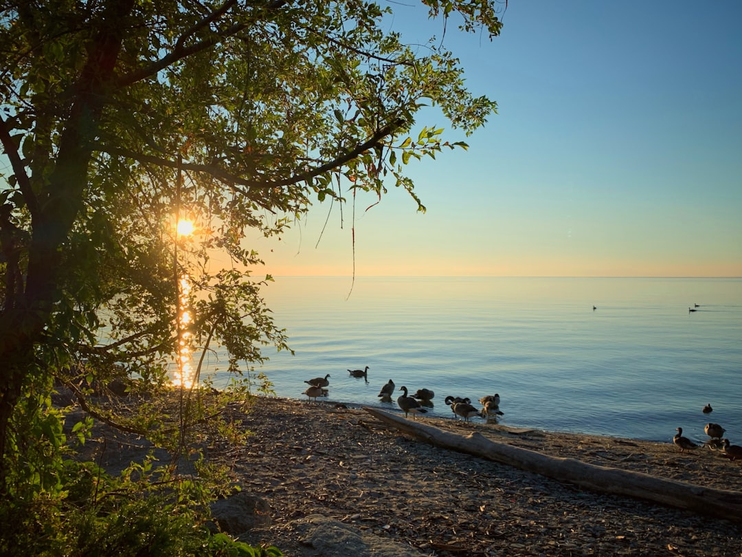
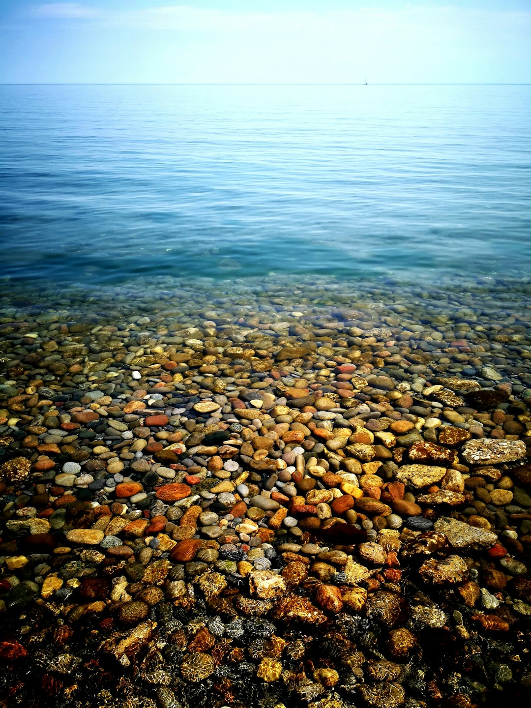
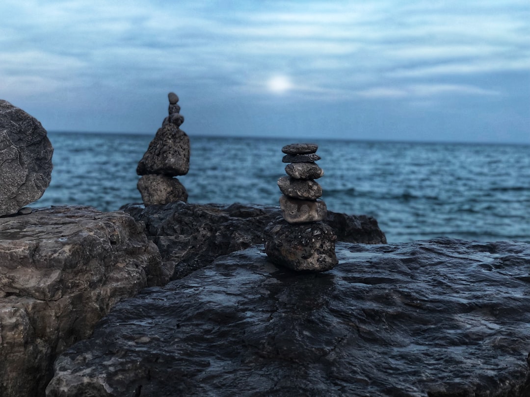
The Best Shore Photo Spots around Niagara Falls in Canada
Explore Shore pictures of Niagara Falls with the travel spots on a map
Download the Travel Map of Canada on Google Maps here
11 Shore Spots of Niagara Falls on a Map
Pictures of Shore on the interacive map of Niagara Falls
Download On Google Maps 🗺️📲Shore Spots and Pictures around Niagara Falls
Discover popular destinations in Niagara Falls with their travel guides
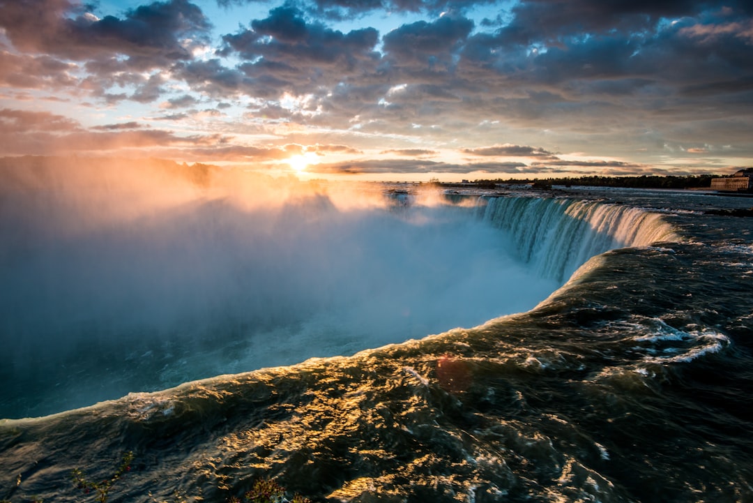
Niagara Falls
Read the Travel guide View on Google Maps
Fallsview Tourist Area
Read the Travel guide View on Google Maps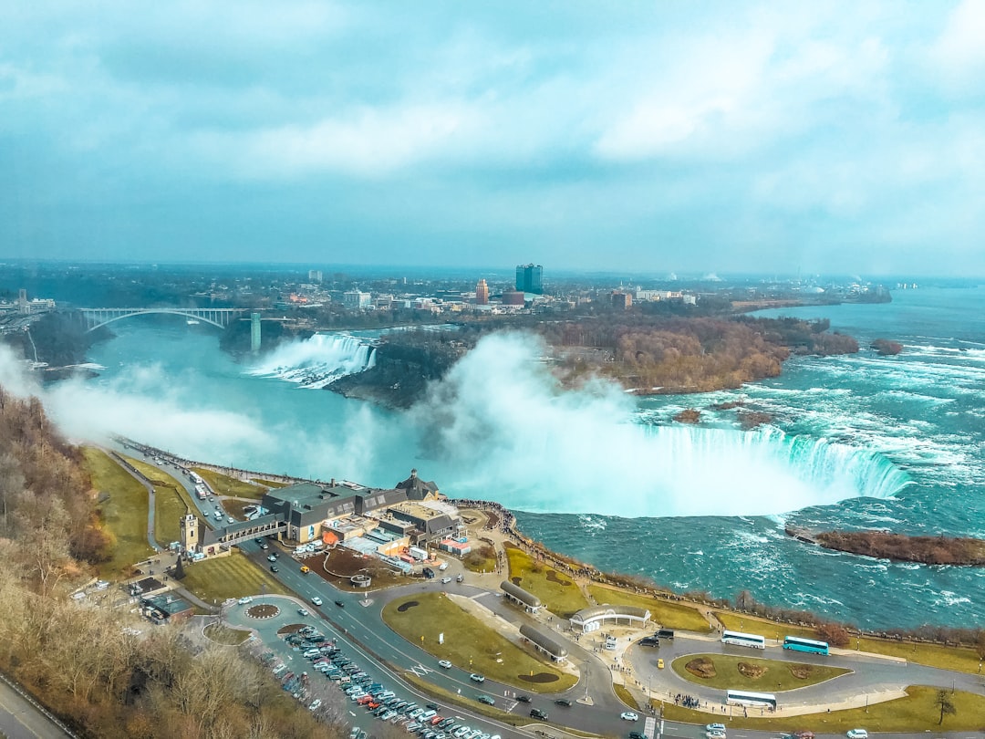
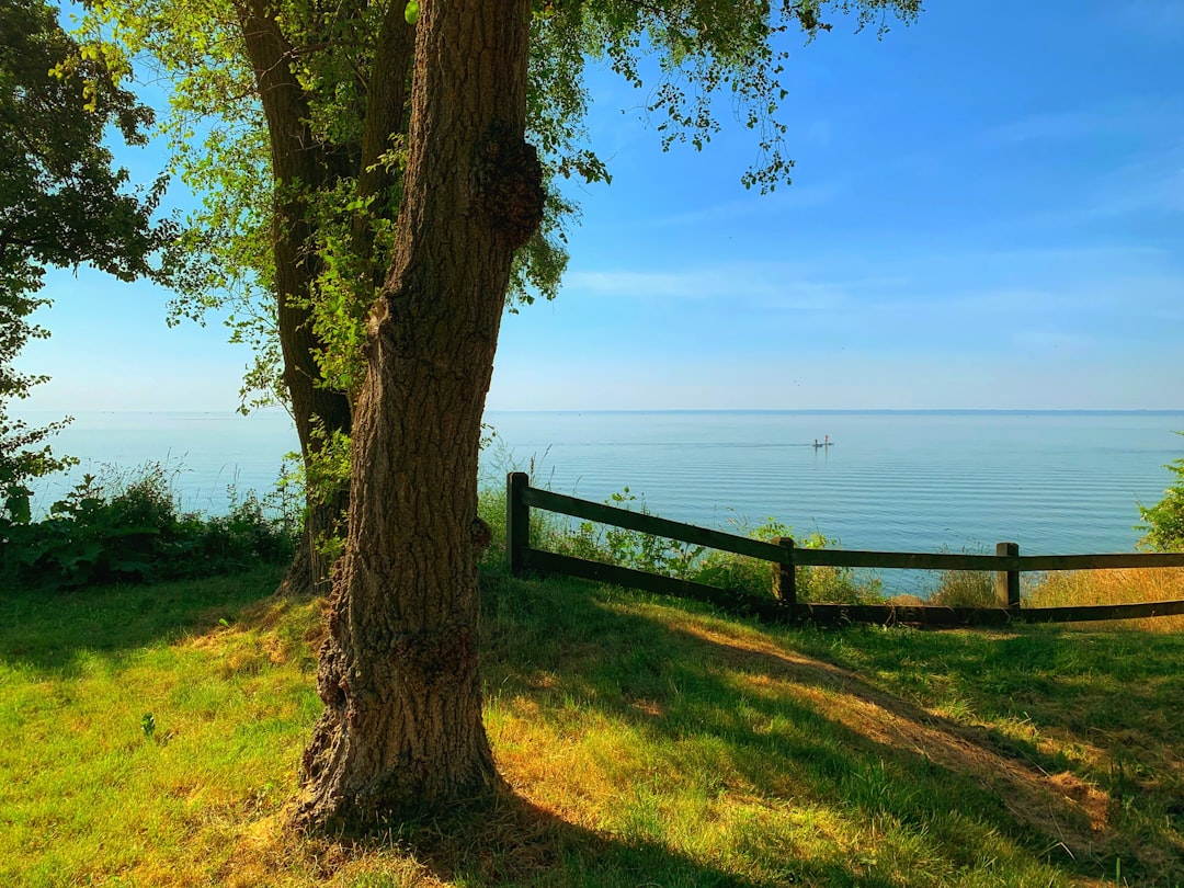
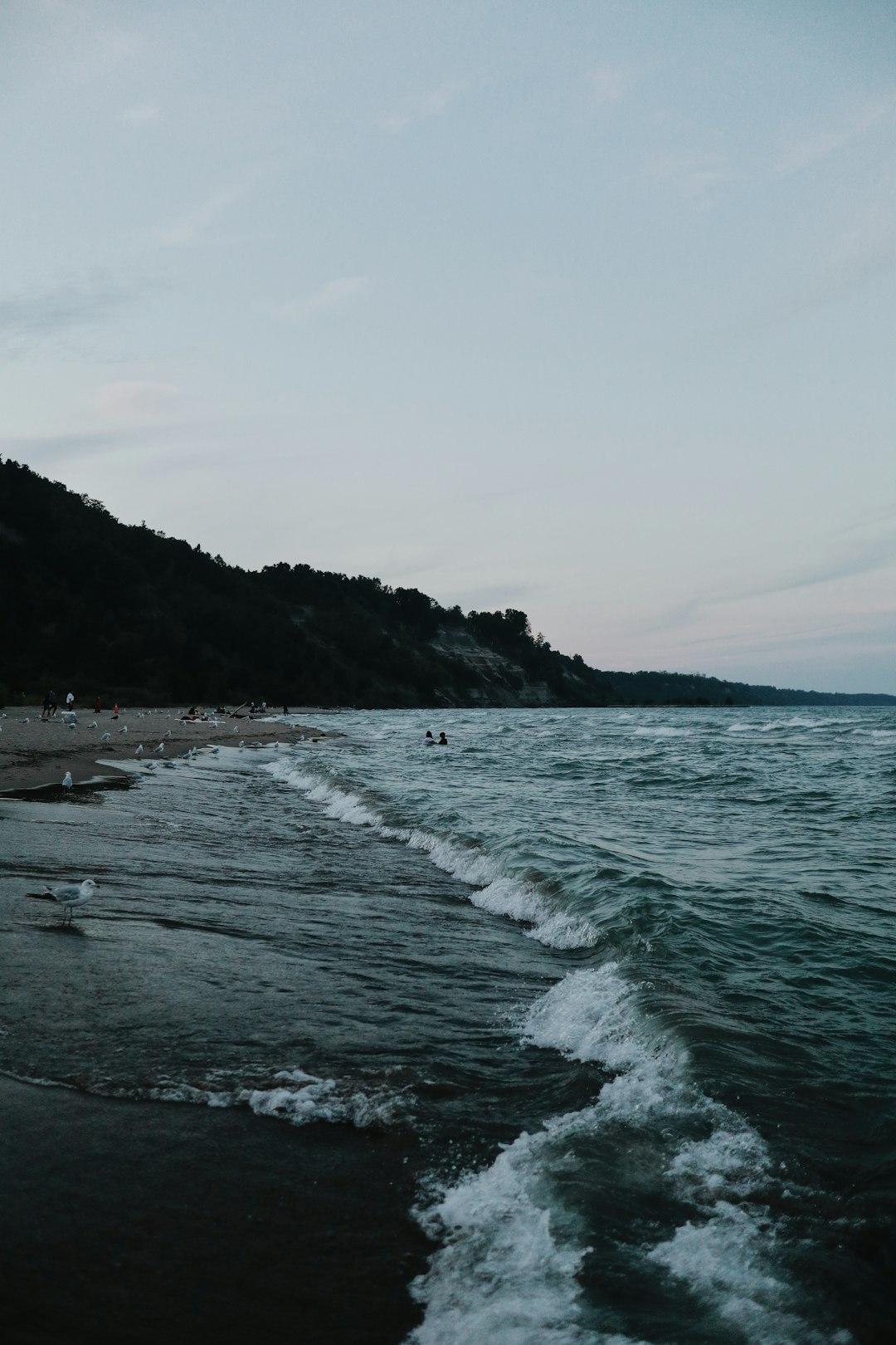
Bayview Park
61 km away from Niagara Falls
Read the Travel guide View on Google Maps
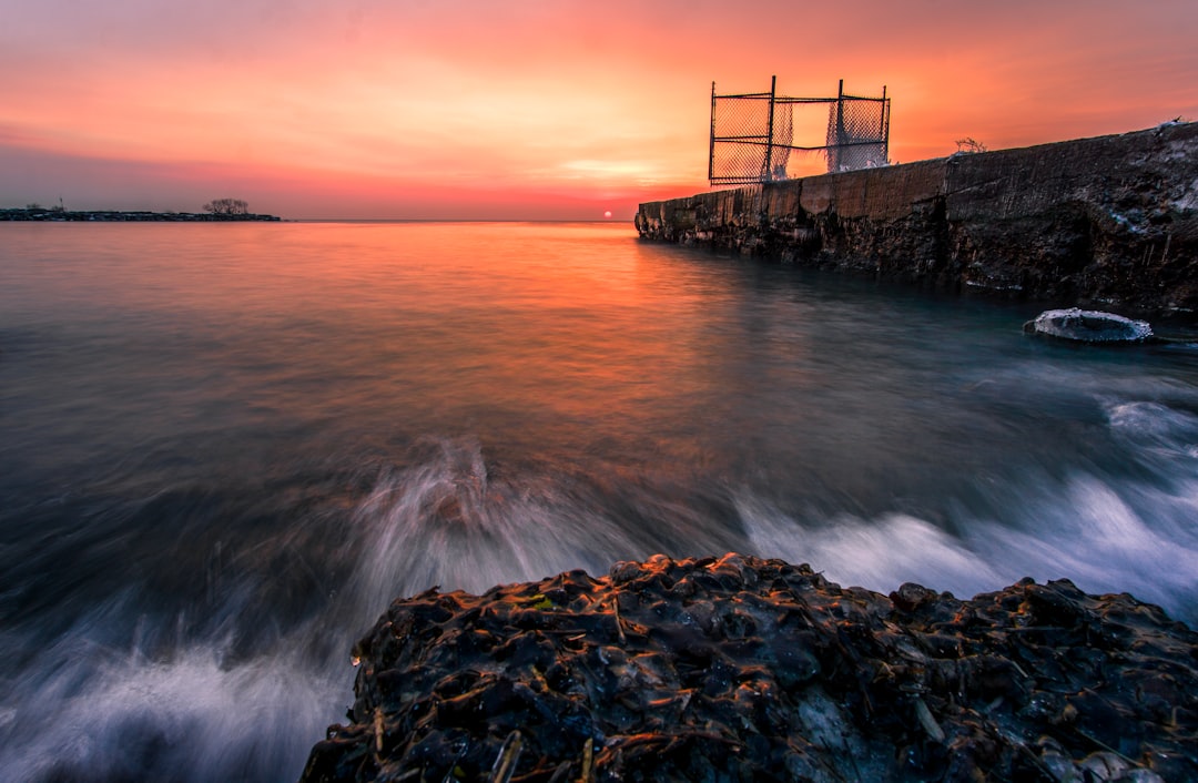
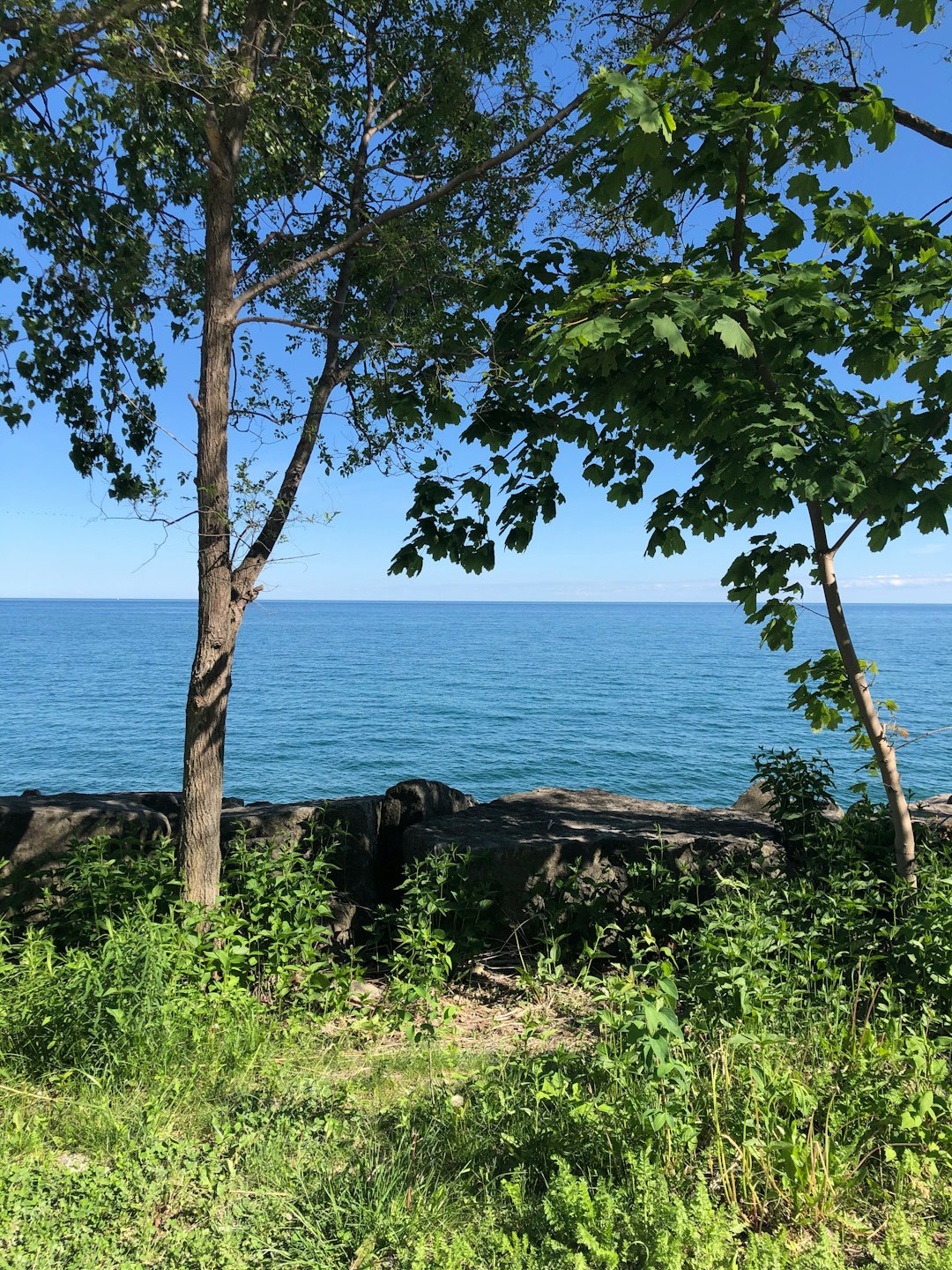
J.C. Saddington Park
66 km away from Niagara Falls
Read the Travel guide View on Google Maps
15 Helene St S
66 km away from Niagara Falls
Read the Travel guide View on Google Maps
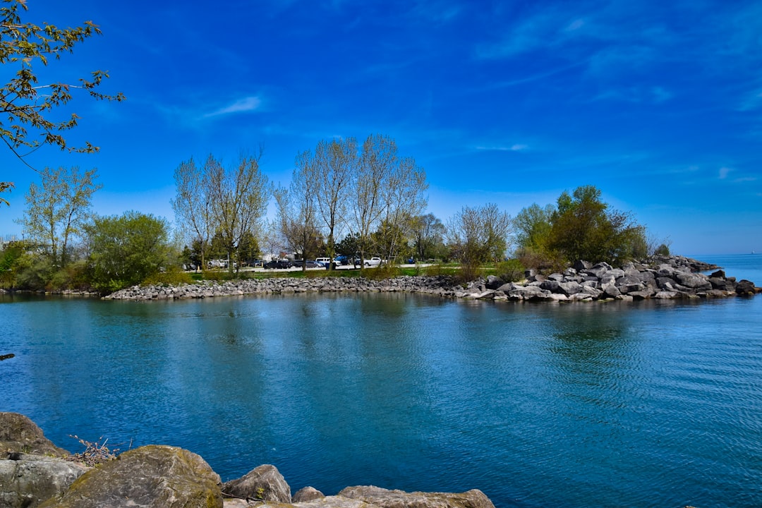
Boardwalk
67 km away from Niagara Falls
Read the Travel guide View on Google Maps
70 Kew Beach Ave
68 km away from Niagara Falls
Read the Travel guide View on Google Maps
Toronto
68 km away from Niagara Falls
Read the Travel guide View on Google Maps
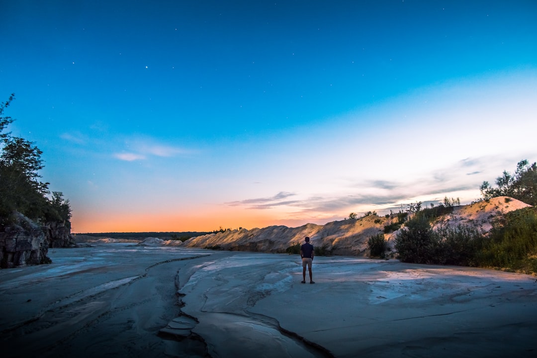
Scarboro Crescent Park
70 km away from Niagara Falls
Read the Travel guide View on Google Maps
Bluffers Park
71 km away from Niagara Falls
Read the Travel guide View on Google Maps

Acton
99 km away from Niagara Falls
Read the Travel guide View on Google Maps
Book your Travel Experience in Niagara Falls
Discover the best tours and activities in Niagara Falls and book your travel experience today with our booking partners
Learn More about Niagara Falls
Find Hotels in Niagara Falls
Discover the best hotels around Niagara Falls, Canada and book your stay today with our booking partner booking.com